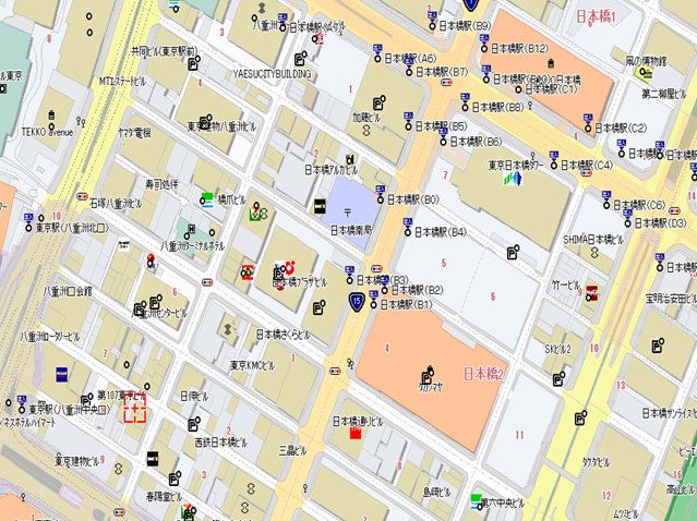
As a leading Japan map data provider, ZENRIN is specializing in the development of cutting-edge digital maps tailored for car navigation systems. Our diverse offerings encompass Standard-Definition maps (SD), High-Definition maps (HD), and 3D maps, customized to the evolving needs of navigation technology. Beyond automotive applications, our comprehensive services extend to GIS solutions, Point of Interest (POI) data, location-based services for ad tech, a sky network designed for drones, and mapping solutions for businesses and government entities.
Renowned for its excellence, our Japan map data is widely utilized in automotive and Internet of Things applications. It plays a vital role in enhancing driving experiences, facilitating route planning, supporting Advanced Driver Assistance Systems (ADAS), providing visual representations, and enabling efficient searches.
At ZENRIN, our expertise in map creation has proven successful across various industries. We have made significant contributions to fleet management, city planning, logistics, real estate, location-based marketing, emergency services, and governmental initiatives. Explore the power of ZENRIN’s maps to elevate your navigation and location-based solutions.
Japan Map Data &
Location Services
As Japan map data provider with over 75 years experience in the mapping industry, ZENRIN offers richt dataset with 100% coverage for all of Japan.
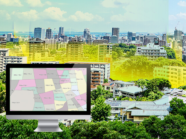
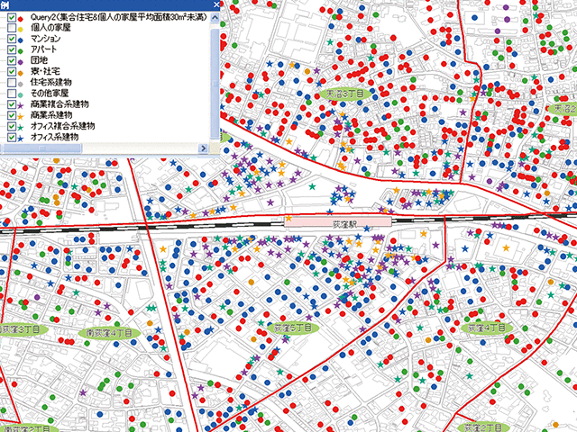
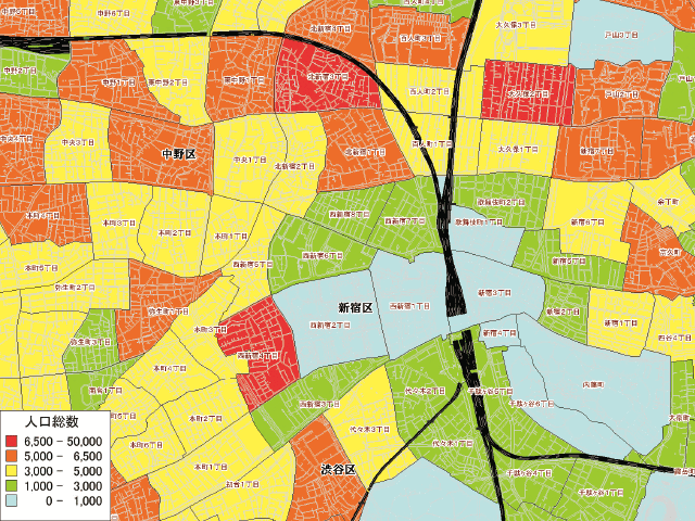
Moreover, ZENRIN provides various GIS contents and attributes for area analysis or marketing purposes, including statistical and administrative data.
Discover more about ZENRIN’s GIS Content…
ZENRIN Group FUTURE VISION
This video shows the ZENRIN vision for the future. ZENRIN’s goal is to create innovative value in a variety of fields through Smart Mobility by providing highly accurate Japan map data with rich contents.


