Mobility Solutions
ZENRIN offers new business opportunities with Mobility Solutions
The Internet boasts a wide range of opportunities to utilize efficiently accumulated big data in various businesses. At the same time the development of digital technologies, such as car navigation systems and smartphones, is expanding opportunities for the use of location information and location based services. By combining the vast amount of big data with accurate map information and location information, ZENRIN aims to contribute to smart city development with effecient Mobility solutions.
ZENRIN offer Mobility solutions for various industries, including truck solutions and drone segment as a last-mile delivery or MaaS. As an owner of a large datasets including residential and road maps in Japan, ZENRIN is constantly improving map freshness and accuracy, expanding its content and building foundation that enables customers to receive information in the suitable format. By combining map data with customer´s big data ZENRIN solutions enable to increase efficiency and reach optimization of customer´s business processes.
Internet of Things as well as digital technologies enables transformation and constant enhancement of products, services and business models to keep pace with the dynamical changes in many industries.
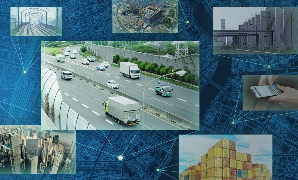
Utilizing geospatial information and detailed map (incl. adresses, arrival point, etc.), ZENRIN offers industry specific solutions to optimize business processes and increase efficiency in supply chain.
MaaS for Smart City
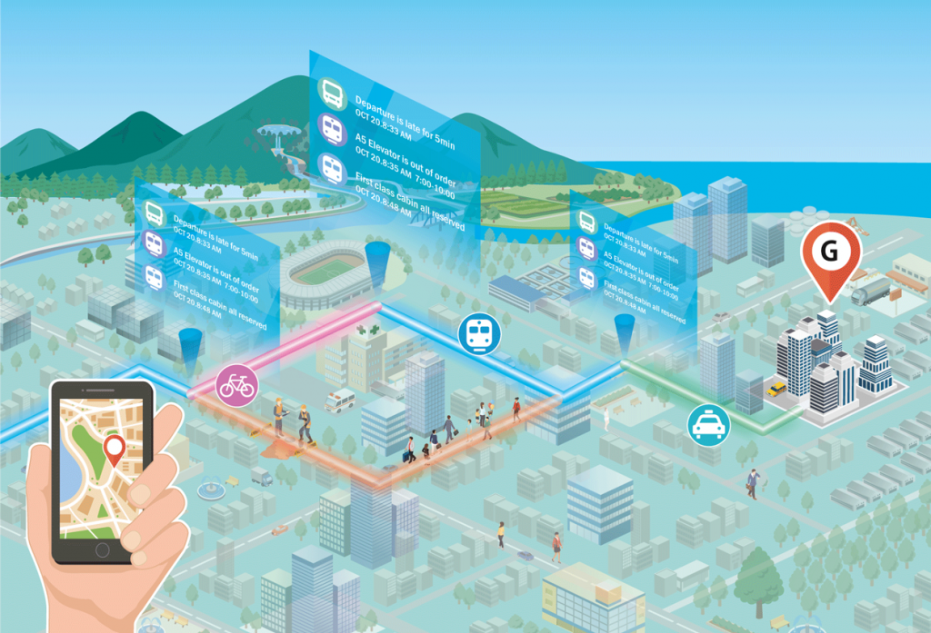
Combining “mobility information” with “map data” ZENRIN is offering “Micro MaaS Solutions” which focus on solving of various issues faced by “micro areas” or small communities and revitalization of regions. Points of interest, local information as well as optimal routes can be visualized and easily handled on smartphone. The seamless integration is anabled by API.
As an essential part of Mobility-as-a-Service ZENRIN is developing “Mobilty based Network”, which covers railway, road and pedastrian network with their interconnectivity and enables the multimodal mobility. Moreover, connecting regions and means of transportation ZENRIN provides tools to visualize the flow of people with route search and map drawing functions. More information…
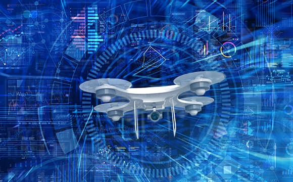
The Industrial Revolution in the Sky is expected to be enabled using drones a preferred transportation mode for last-mile delivery. ZENRIN also contributing with it´s technology to this development by working on the Sky Network in combination with Airspace Management. Based on Zenrin’s detailed map data, the system automatically generates routes that avoid buildings, road overpasses, and other obstacles.
In addition, dynamic information such as weather is also taken into account to ensure safety on the airways.