ZENRIN supports Automotive industry by providing HD map, SD map or 3D Map with rich and fresh attributes including arrival point information, ADAS, visual contents, and much more.
Standard Definition Map (SD)
ZENRIN offers standard definition map (SD) that enables great driving experience by making the best use of our know-how in map development and maintenance we have been working on for many years.
With our ISA and ADAS attributes, ZENRIN is able to provide automotive solutions that support safe and secure driving. In addition, combining location information with our rich attributes we create a fresh and highly accurate map.
Autonomes Fahren erfordert nicht nur Informationen von Kameras und Sensoren, sondern auch genaue Kartendaten, die eine vorausschauende Fahrweise ermöglichen.
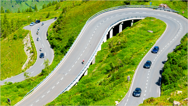
ZENRIN´s HD map enables accurate vehicle positioning, supports sensor recognition, and anticipates lane guidance for Autonomous driving. Efficient data maintenance system based on AI to expand the HD map coverage for general roads. Besides ZENRIN´s HD map is already utilized by some Japanese OEMs for autonomous driving on Highway.
Discover more about our HD map for automotive solutions.
EV Solutions
Als Reaktion auf die zunehmenden Umweltbelastungen stellt die Automobilindustrie weltweit auf umweltfreundliche Elektrofahrzeuge (EVs) um.
ZENRIN offers automotive solutions and serivces for EV drivers based on our map data and know-how accumulated over the years. We are able to provide the best route guidance including EV charging stations and their attributes, such as charging type (quick/normal), connector type, voltage, arrival point, etc. Moreover, our EV Route Planner System calculates the optimal route considering the fuel consumption based on the road elevation and gradient information and EV charging station with additional attributes like connector type, charging speed, occupancy, etc.
Datenerhebung bei ZENRIN
Unsere Art der Datenerfassung für die Karte und die Navigation ermöglicht es uns, detaillierte Informationen über Tür-zu-Tür-Ankunftspunkte, E-Ladestationen usw. zu erhalten. Darüber hinaus können wir durch den Einsatz spezieller Messfahrzeuge verschiedene Daten zu Verkehrsregeln, Straßenbreite und örtlichen Bedingungen durch tatsächliches Fahren erhalten.
Ca. 1000 Erhebungsmitarbeiter
Mit etwa 70 Erhebungspunkten zu 100 % landesweiter Abdeckung
Zenrin’s high-precision spatial data is one of the key components of dynamic maps. It supports two steps in the automated driving/ADAS system: “recognition” of where the car is and what is on the road surface, and ” decision-making” of where to go and how to navigate.